


The Hunt 1000 Australian Alps Trail
Distance
578 Mi.
(930 KM)Days
7
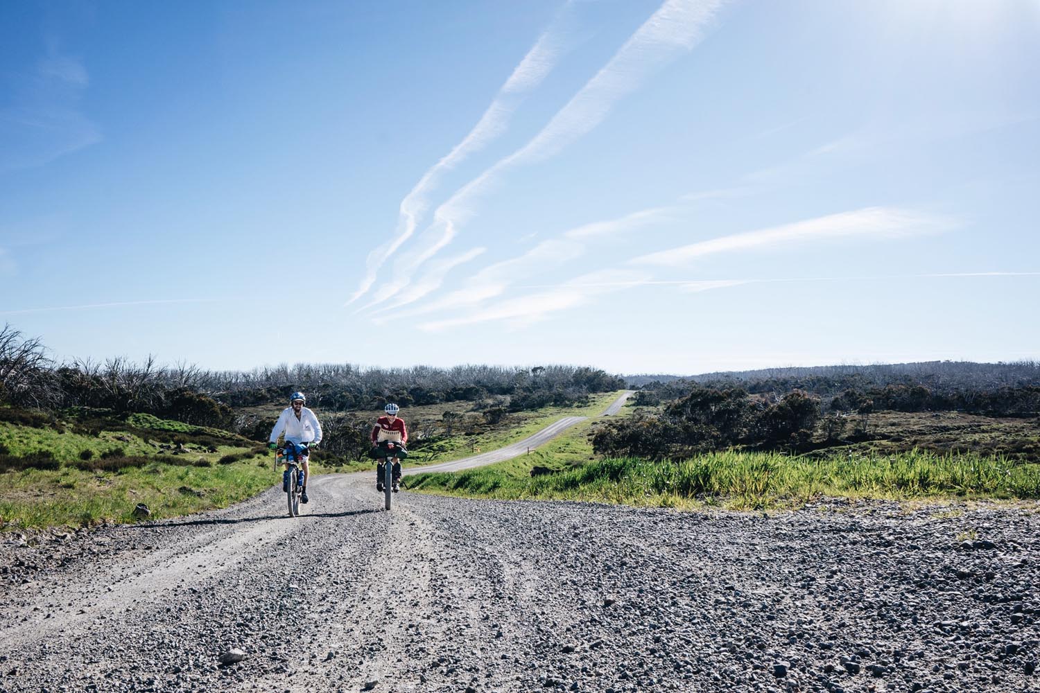
% Unpaved
70%
% Singletrack
2%
% Rideable (time)
90%
Total Ascent
60,941'
(18,575 M)High Point
5,950'
(1,814 M)Difficulty (1-10)
8?
- 7Climbing Scale Strenuous105 FT/MI (20 M/KM)
- -Technical Difficulty
- -Physical Demand
- -Resupply & Logistics
Contributed By
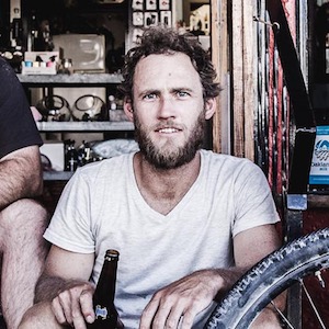
Daniel Hunt
Guest Contributor
Born and raised in Canberra Australia, Dan’s love for bicycles started young at the local BMX track and eventually melded with his love of the backcountry. Dan is a Mechanical Engineer and Environmental Scientist by day and runs Hunt Bikes by night. When not traveling with his wife, Dan can generally be found chasing new trails in the Australian wilderness…
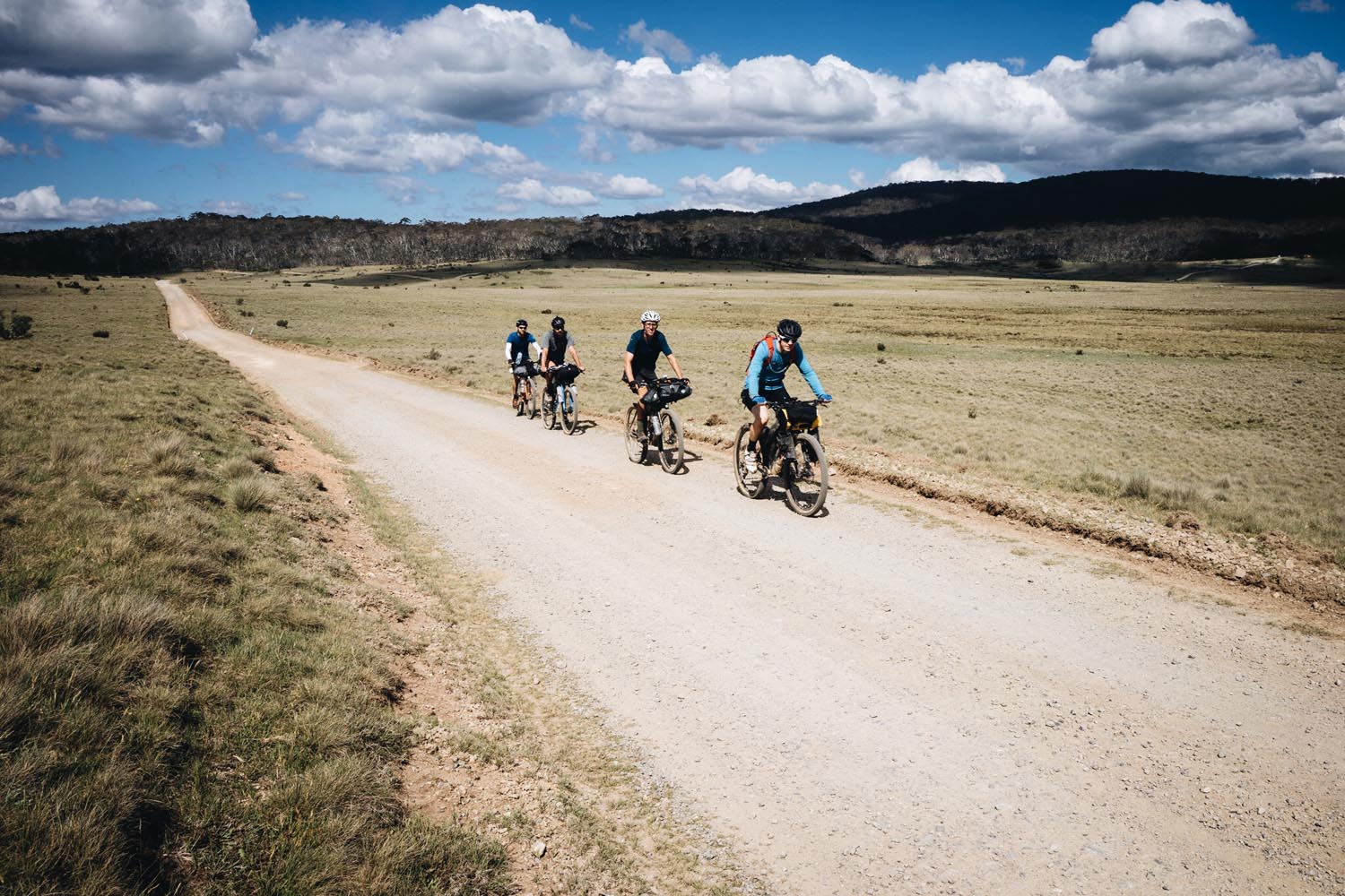
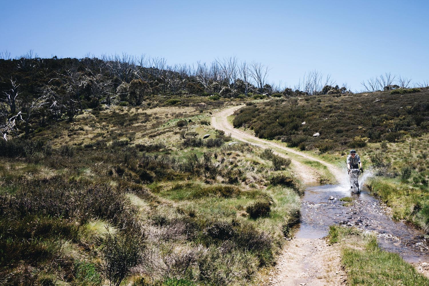
Developed for the inaugural Hunt Bikes Snowy Mountains 1000 event in November 2016, the objective of the route is to link two of Australia’s major cities, Canberra and Melbourne, and traverse some of Australia’s most beautiful high country in a tough but achievable seven days. The route links some amazing campsites and historic alpine huts, provides a limited number of resupply points, and mixes in some challenging hike-a-bike sections, as well as river and creek crossings.
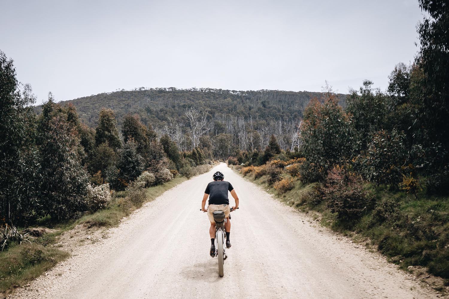
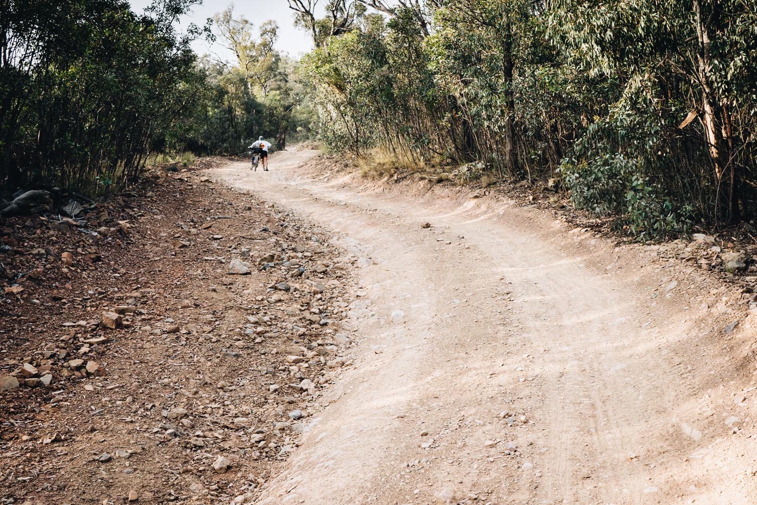
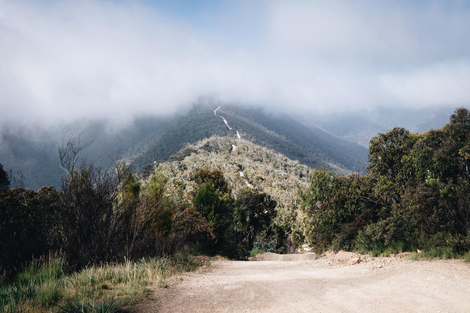
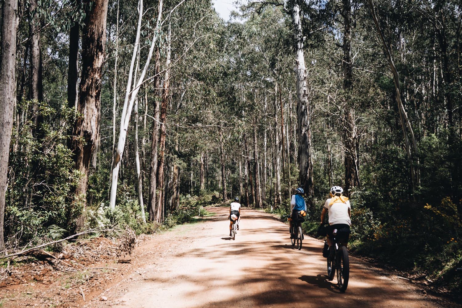
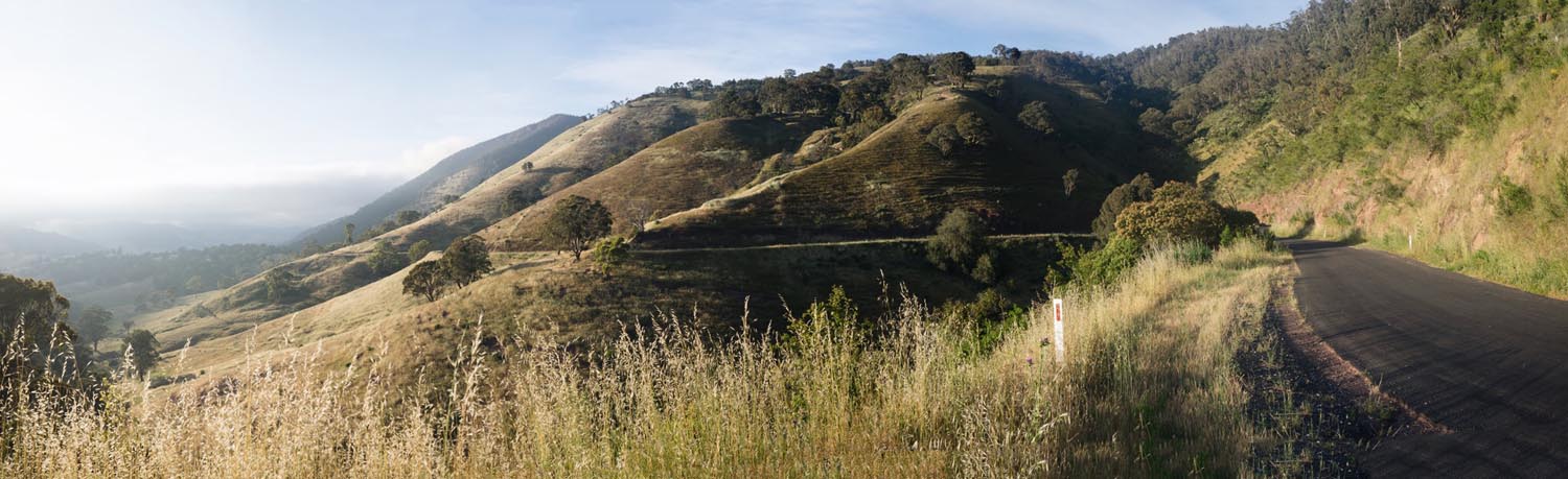
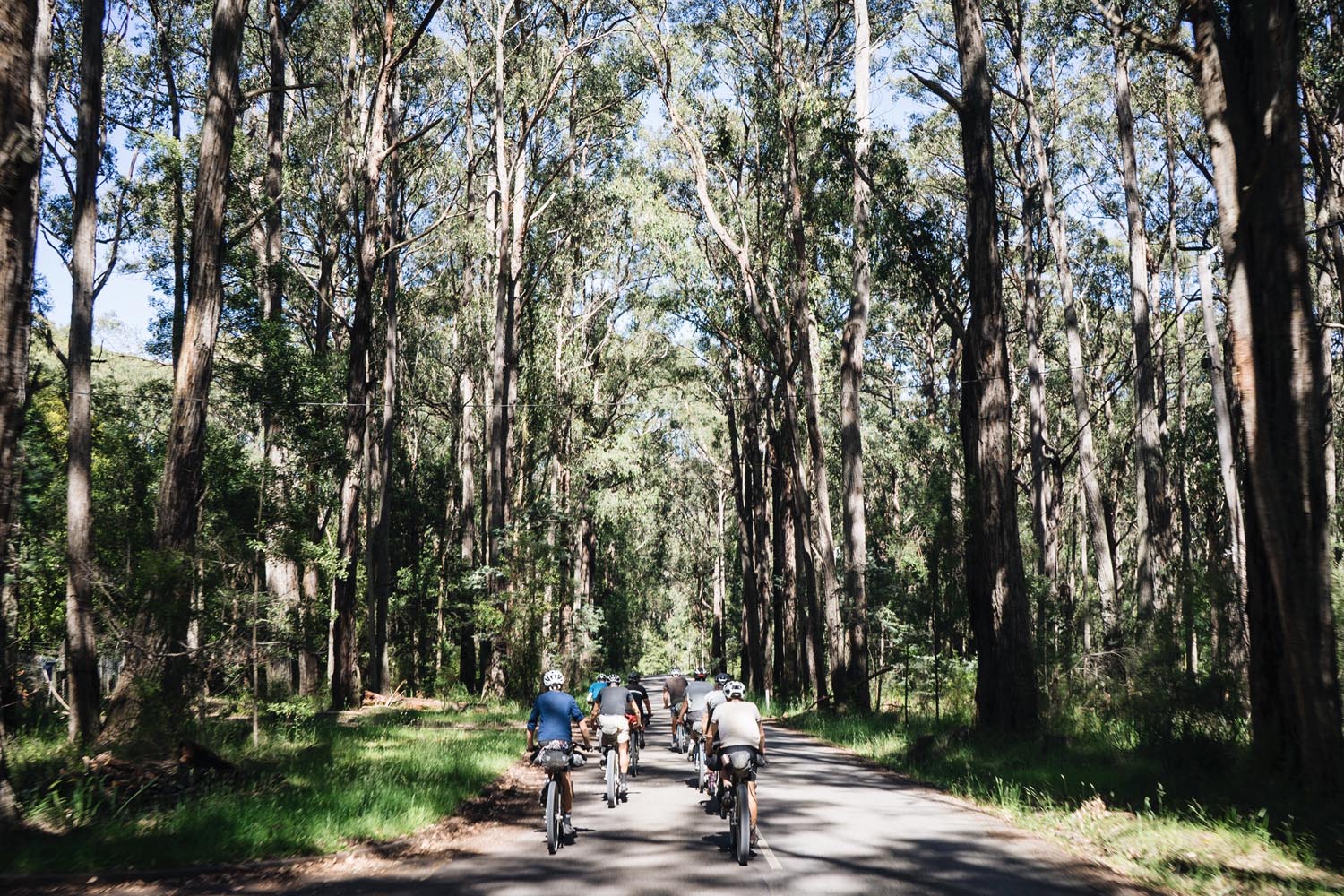
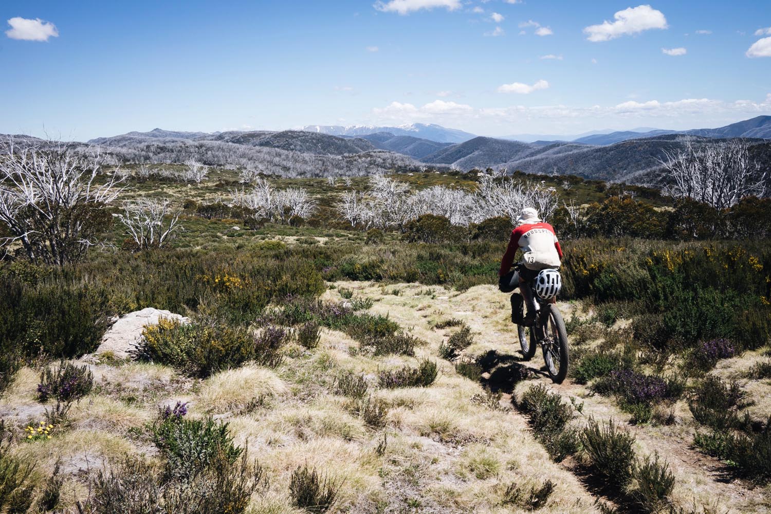
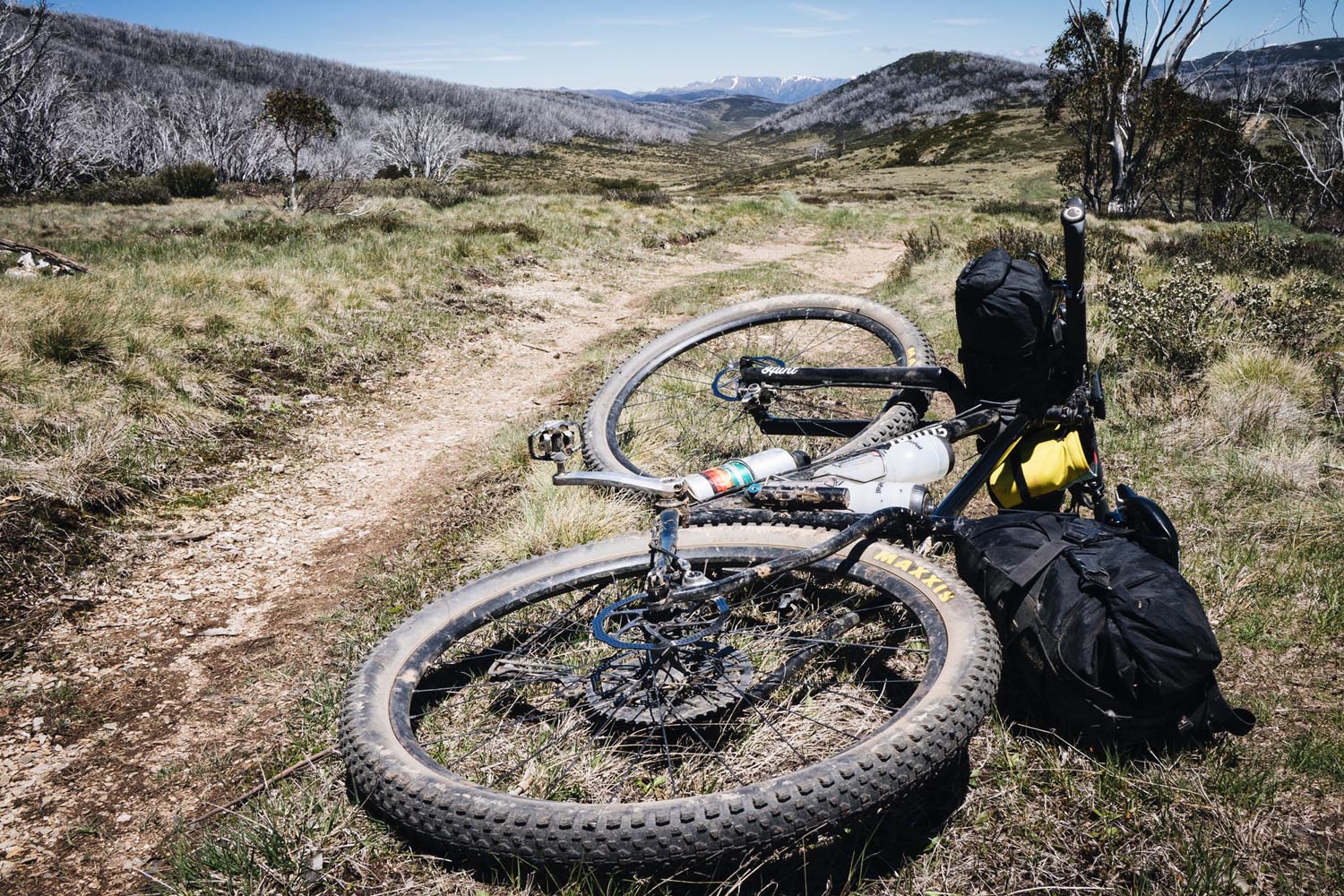
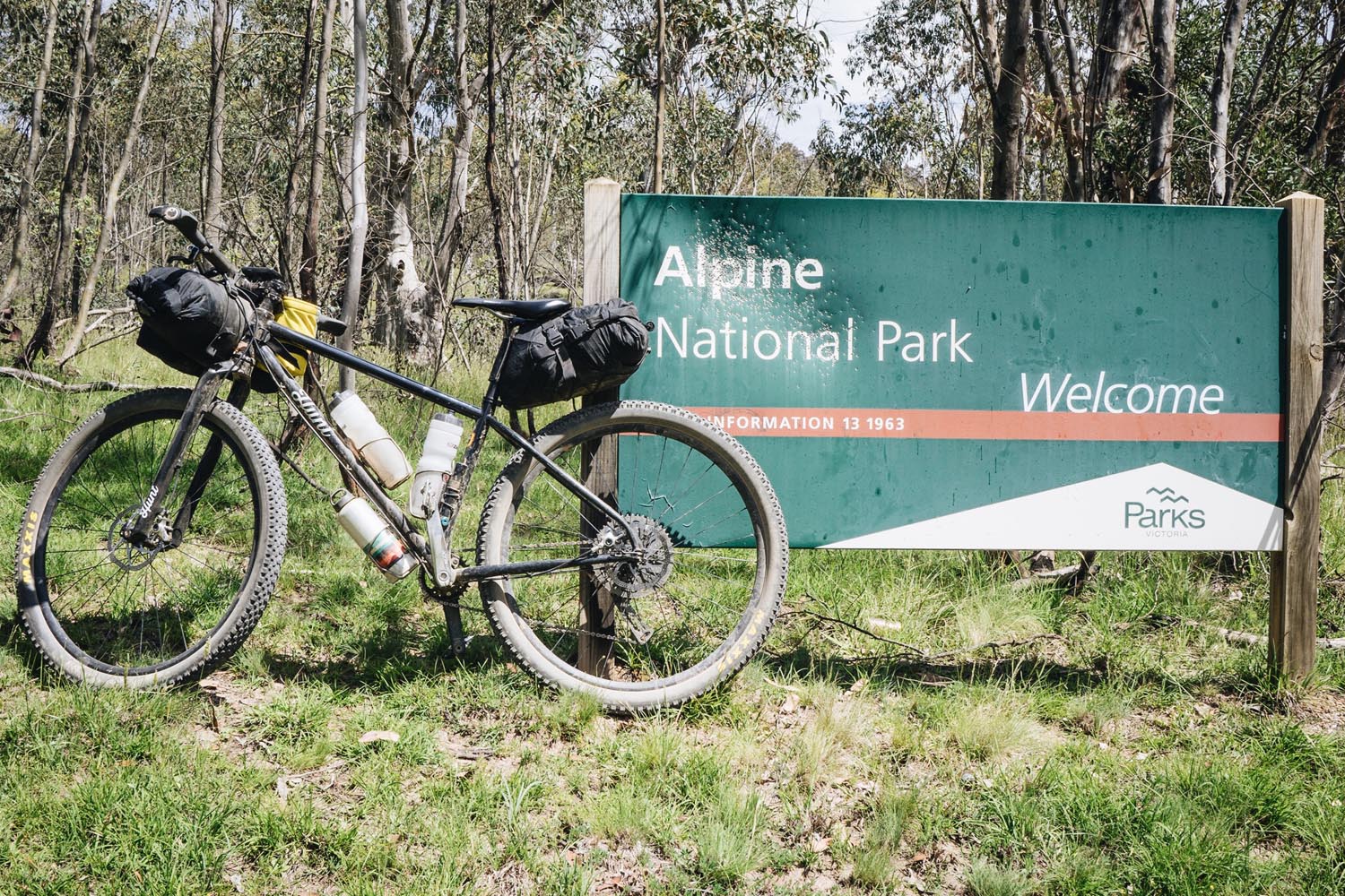
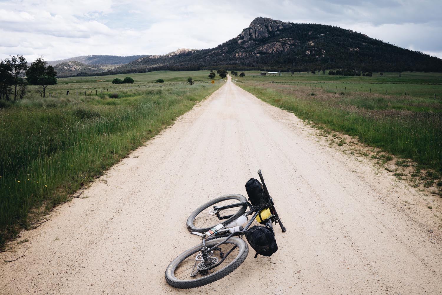
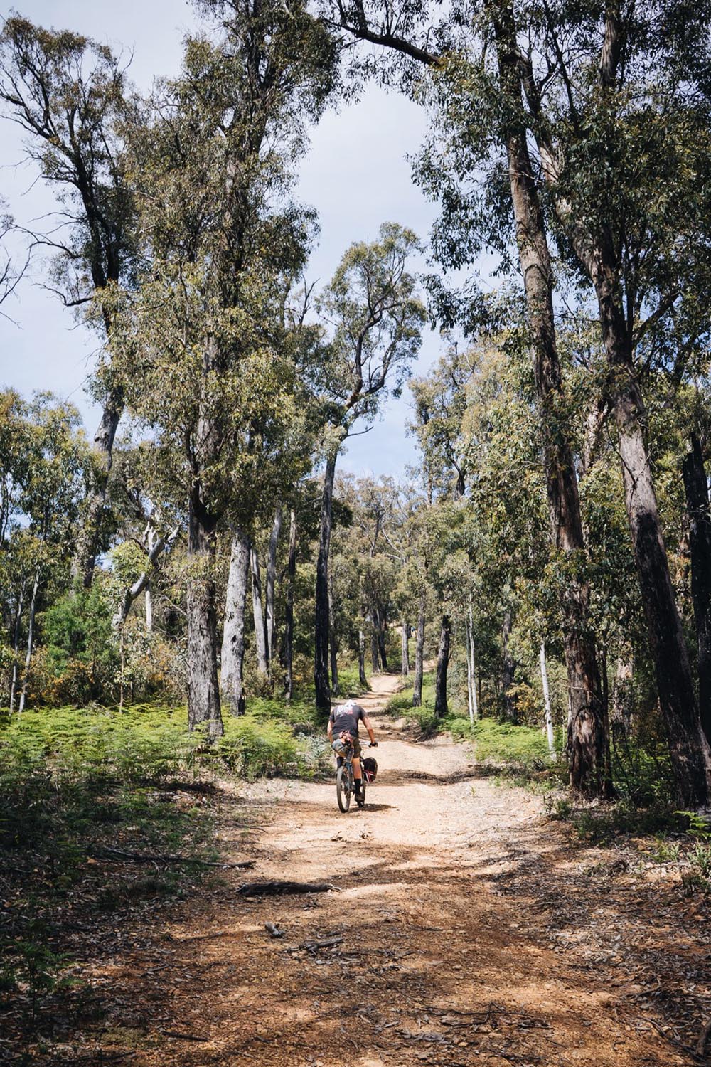
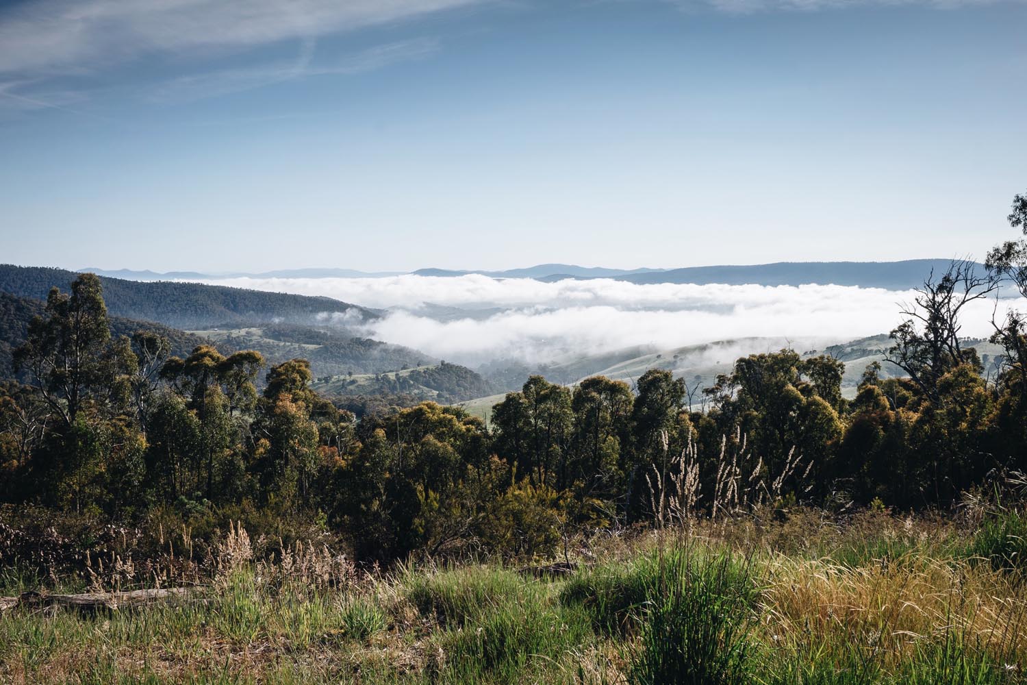
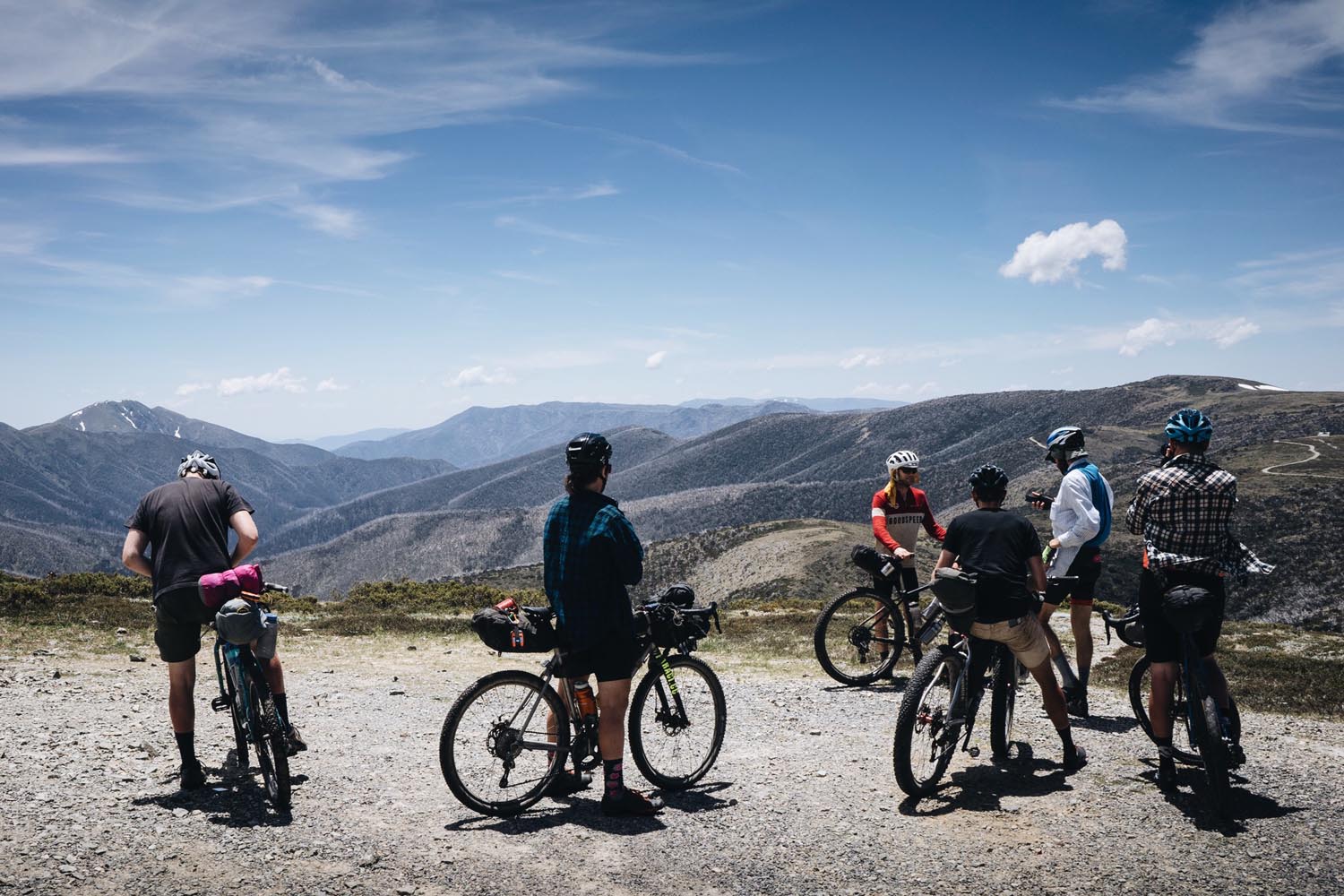
Encompassing the Kosciuszko, Alpine and Namadgi National Parks, the Hunt 1000 takes you into the heart of these remote and uniquely Australian alpine wilderness areas. The Australian Alps have a geological history dating back 160 million years and are unlike regions commonly associated with the term alpine, such as the Andes or the Himalayas. Rather, the Australian alpine region is essentially an uplifted plain made up of grand plateaus surrounded by eroded steep valleys. This unique geology becomes apparent as you climb out of Brindabella Valley to Long Plain or when you scramble 1100m up Billy Goat Bluff Track to the plateau above. The nature of the landscape means you will spend hundreds of km’s on top of the world. But, what goes up must come down and you’ll work hard for those high trail views.
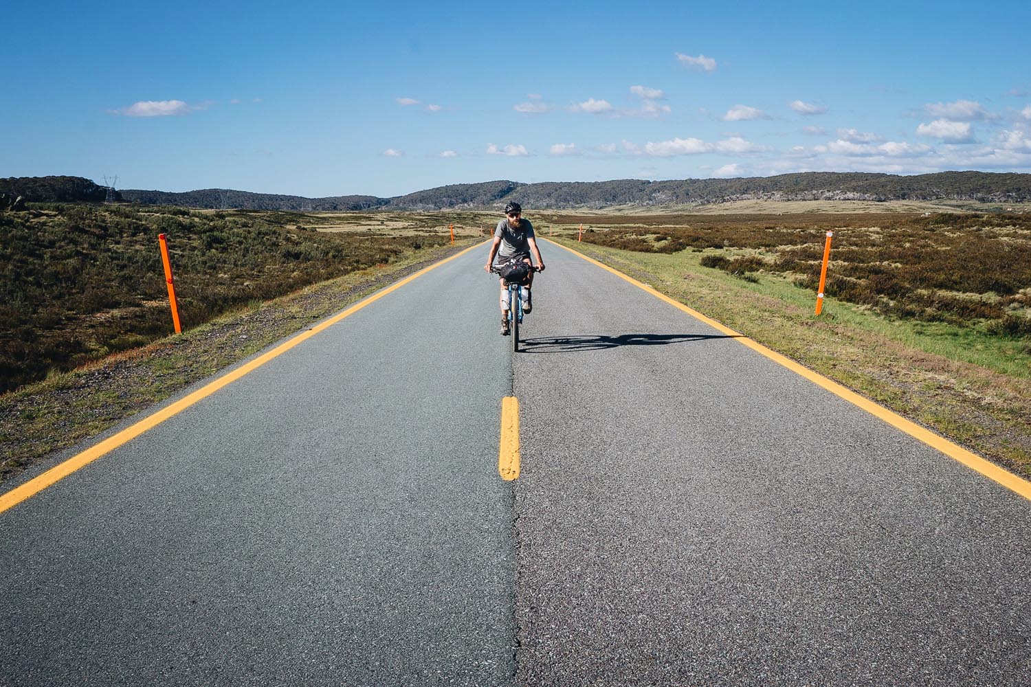
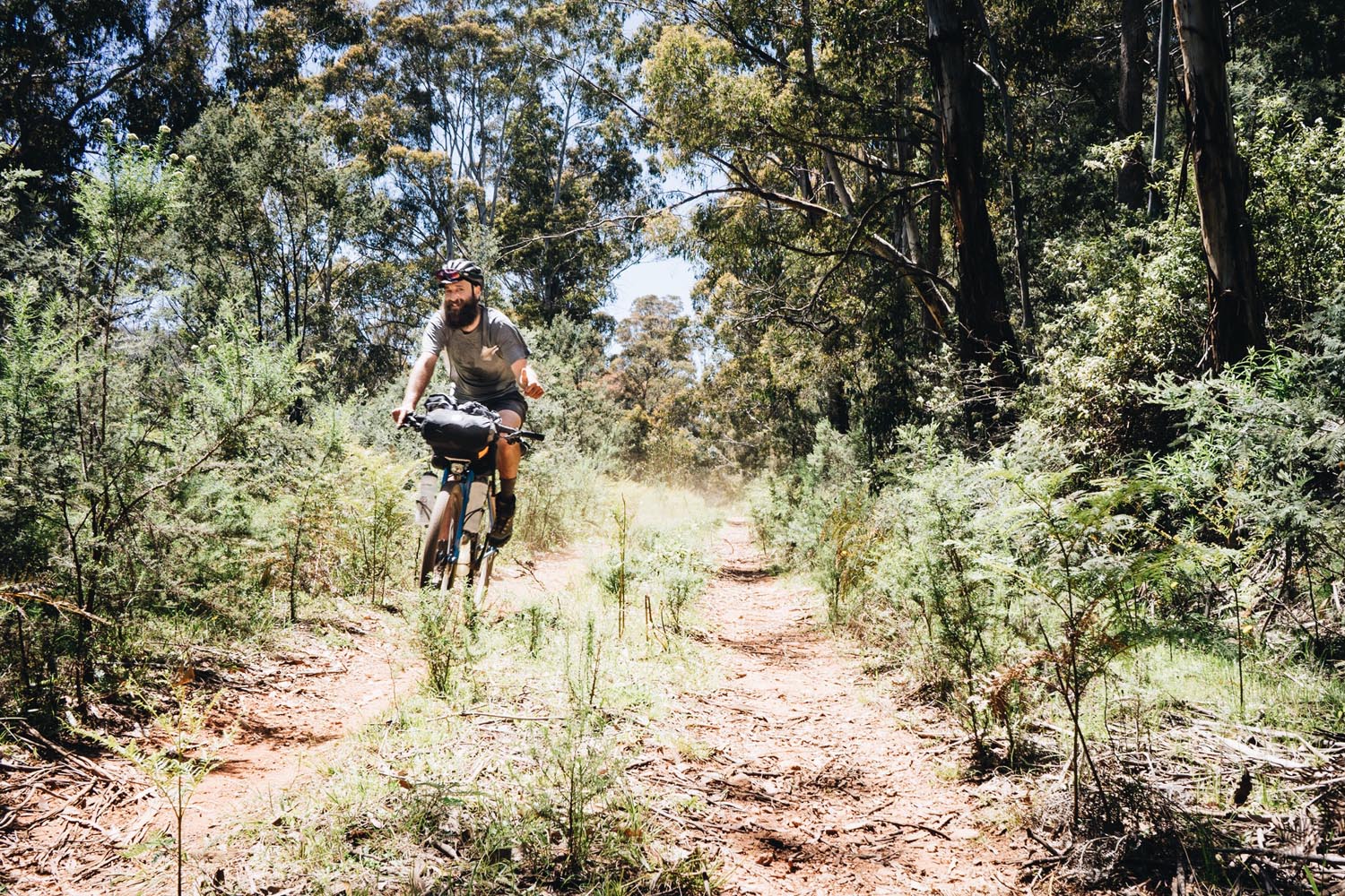
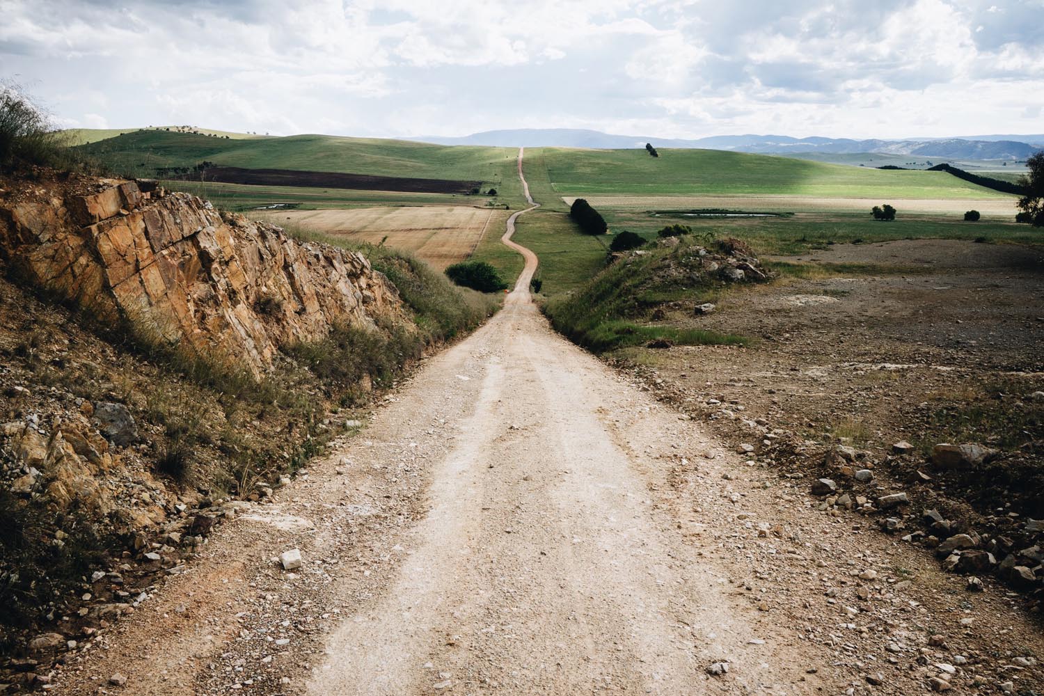
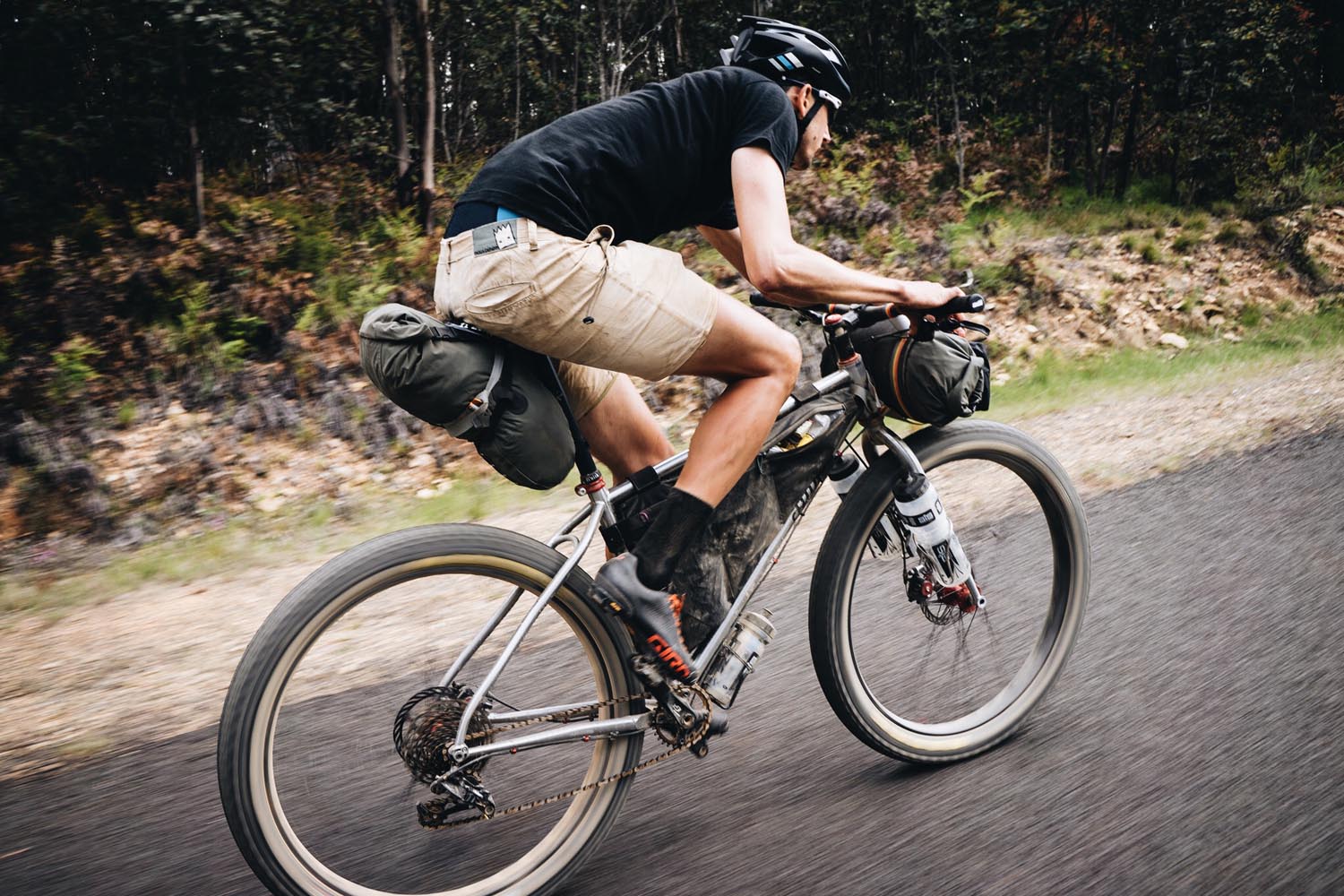
Weaving together a network of fire trails, alpine paths, gravel tracks and country roads, sometimes you’ll wish you had a randonneur with slick 32’s, other times you’ll wish you had a fat bike, and sometimes it just doesn’t matter because its too steep to pedal. The trail conditions and the elevation profile are about as varied as the alpine weather can be. This all combines to make the route a beautiful challenge.
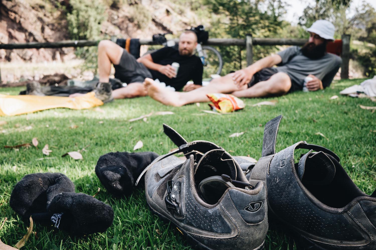
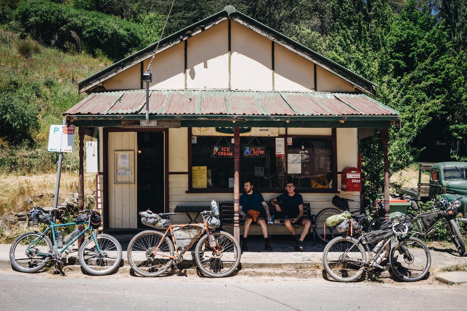
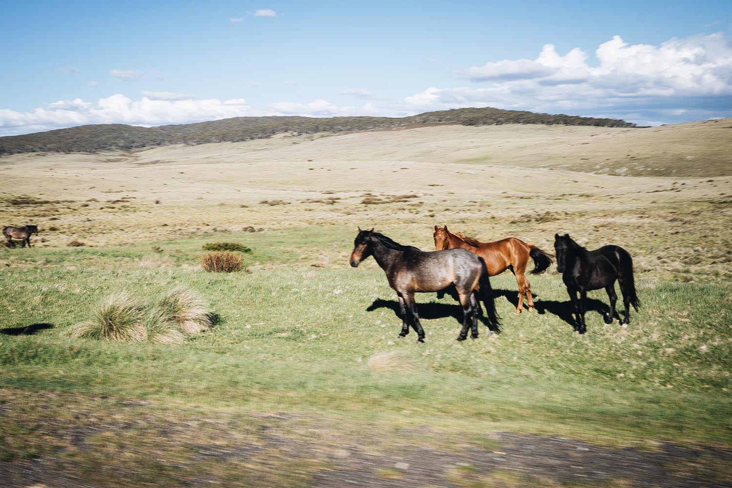
On the back roads and trails your unlikely to have any company other than your thoughts and the occasional wild Brumby or Wallaby. However, when you pass the small towns the friendly locals love to have a chat. If you make it to Dargo in time for an afternoon beer then stop in for a pot at the Dargo Hotel. Mention that your headed for Billy Goat Bluff Track and the locals will proceed to tell you that your crazy but still wish you good luck.
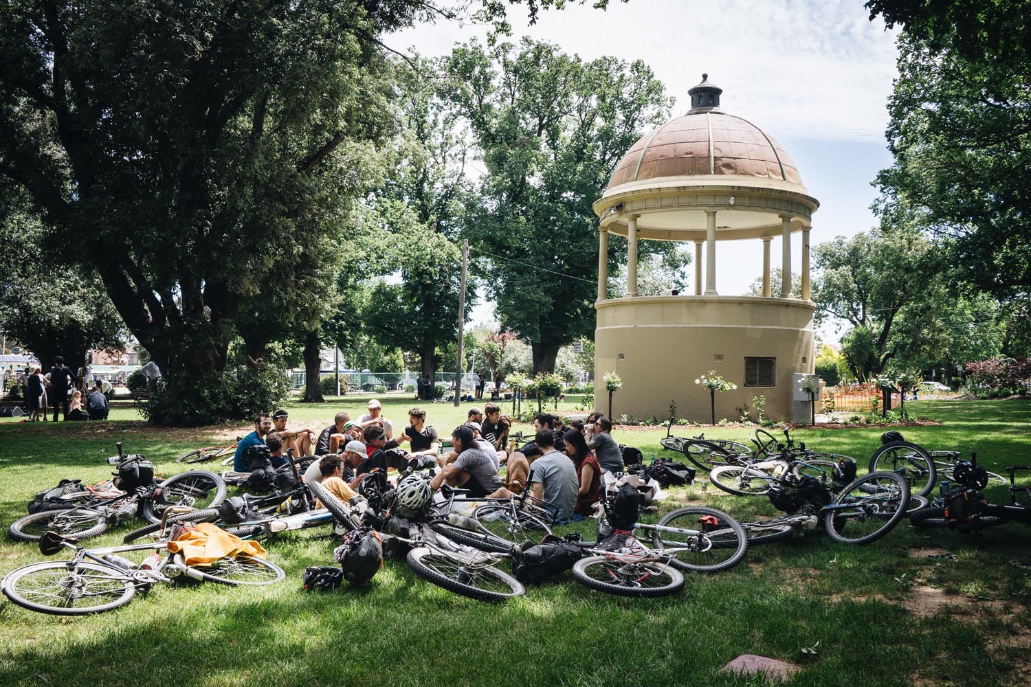
If you prefer the idea of riding and sharing the route with fellow bikepackers then consider signing up for the Hunt 1000 in 2017 (26th Nov) www.huntbikes.com
See trail notes for the suggested 7 day plan and an optional 11 day plan for those with some extra time to enjoy the mountains.
Note the route cannot be completed during the Australian winter and should only be attempted during the warmer months between October and March.


Submit Route Alert
As the leading creator and publisher of bikepacking routes, BIKEPACKING.com endeavors to maintain, improve, and advocate for our growing network of bikepacking routes all over the world. As such, our editorial team, route creators, and Route Stewards serve as mediators for route improvements and opportunities for connectivity, conservation, and community growth around these routes. To facilitate these efforts, we rely on our Bikepacking Collective and the greater bikepacking community to call attention to critical issues and opportunities that are discovered while riding these routes. If you have a vital issue or opportunity regarding this route that pertains to one of the subjects below, please let us know:
Highlights
Must Know
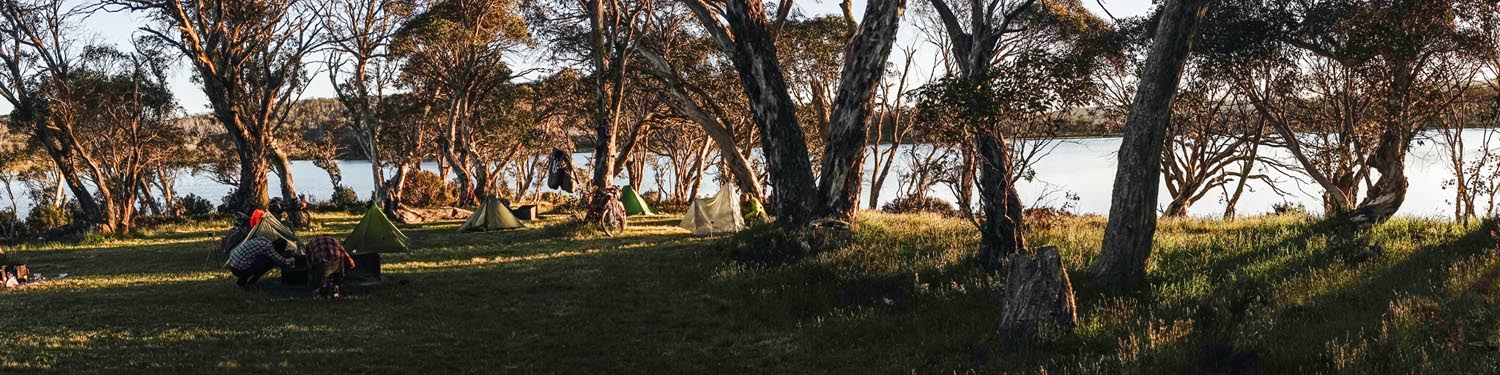
Camping
Food/H2O
Trail Notes
Resources
- The Jagungal Wilderness area
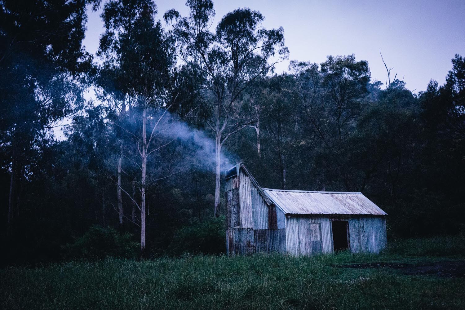
- The Alpine huts – If you have the time then treat yourself to a night in one of the alpine huts. Valentines hut is the pick of the bunch. Free to stay
- Billy Goat Bluff Track – You’ll hate it and love it at the same time
- A beer at the Dargo Hotel
- Camp at the Licola Holiday Park and swim in the Macalister River
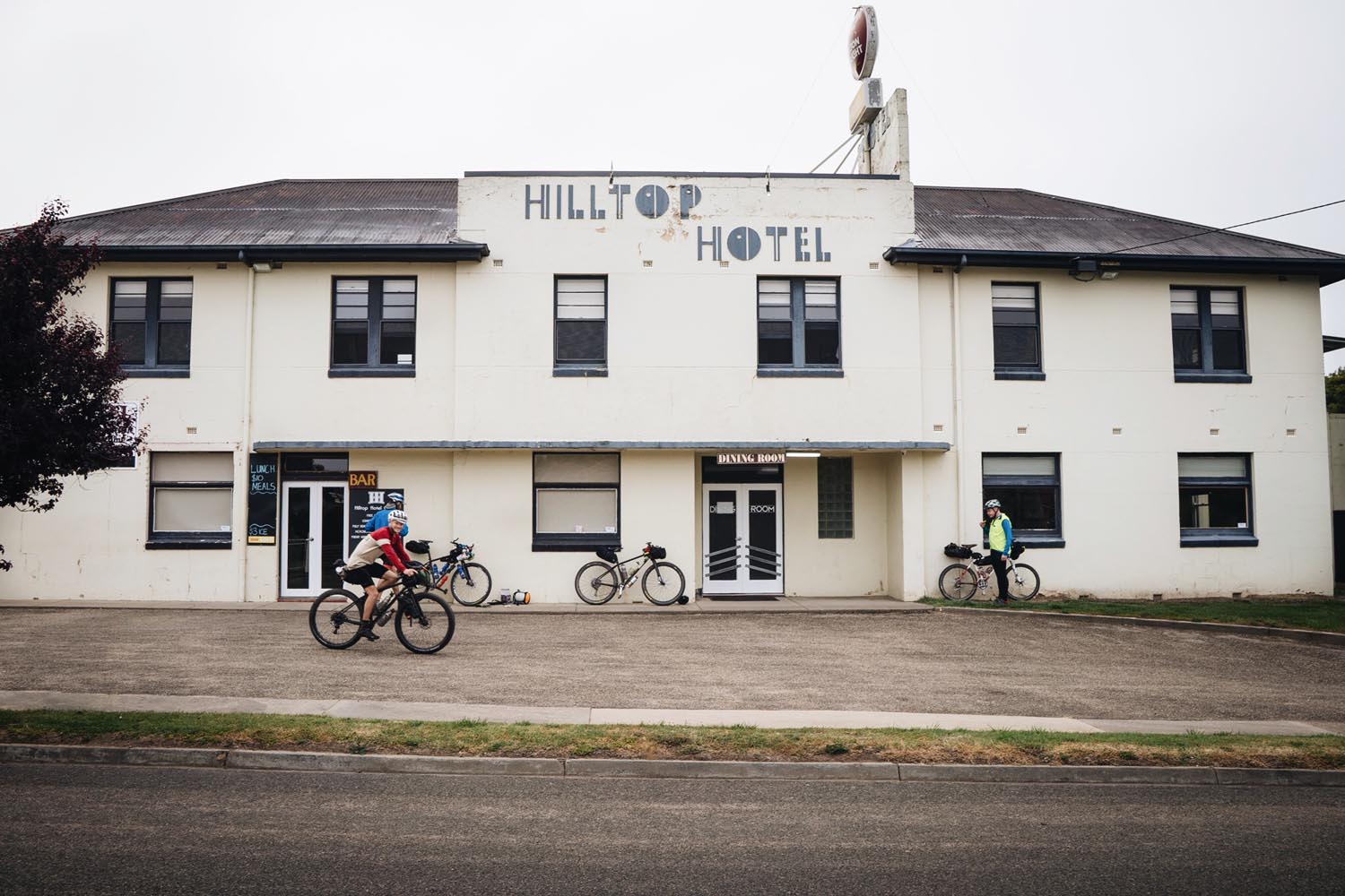
- Dinner at the Hilltop Hotel Omeo
- Mountain air and solitude
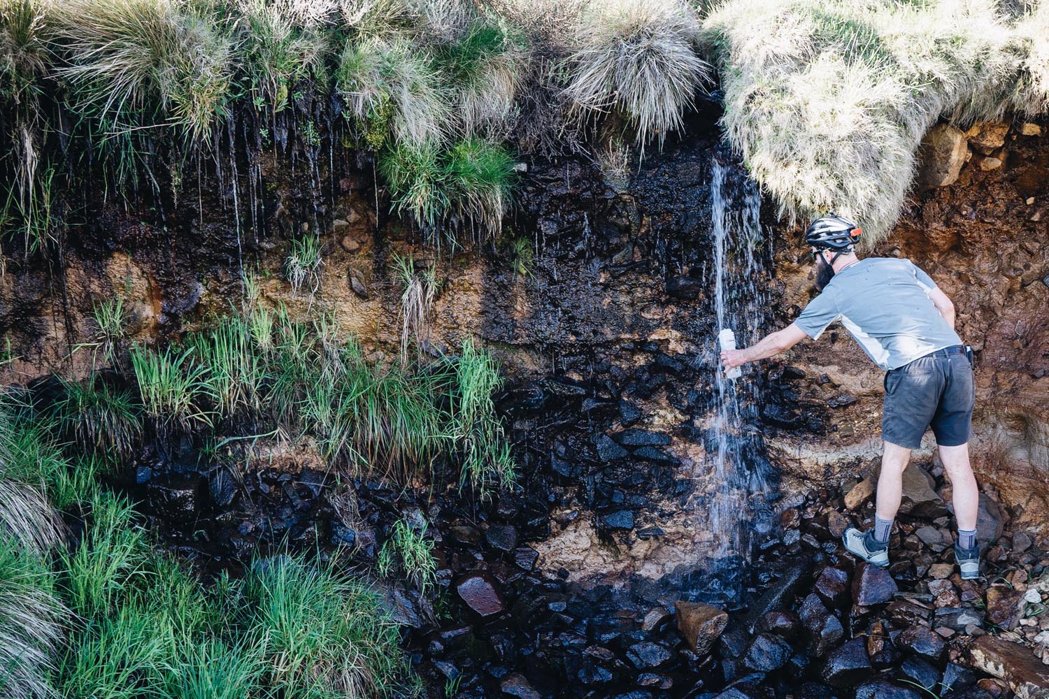
- Drinking from the mountain streams
- When to go – in the warmer months between October and March. Do not attempt in winter
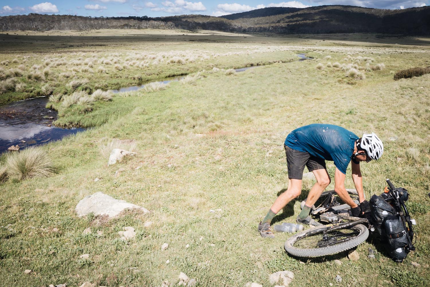
- River crossings – There is a river crossing in the Jagungal wilderness and a major river crossing at the Murray River on the NSW/Victoria boarder. After heavy rain these rivers are not likely to be passable and will require you to backtrack or detour. Plan around the weather if possible and be prepared to detour if required.
- Be prepared for bad weather – it can snow in the high country even in the middle of summer. Be prepared for all weather conditions and keep up to date with the weather report before departing.
- Australia’s official weather – Bureau of Meteorology – Bureau of Meteorology web homepage provides the Australian community with access to weather forecasts, severe weather warnings, observations, flood information …
- Treating your drinking water – much of the route will require you to drink water from streams. Its possible to pick up Giardia or other parasites from drinking the water. You could probably drink most of the streams without treating but don’t risk it and make sure to treat all drinking water
- SPOT tracker or EPIRB – its highly recommended to carry an emergency tracker due to the remoteness of much of the trail. If you get into trouble you could be a long way from help and you may not see another person on the trail for days or weeks.
- Snakes – Snakes often like to sun bake on the trail. Stay aware and you should be safe. If your unlucky enough (chances are low) to get bitten by a snake then stop moving, apply pressure and send for help.
- Camping in the national parks in only allowed in the designated camping areas.
- Staying the night in one of the alpine huts is a special experience, allow time for a night, or even two, in a hut if you can.
- The small towns have pubs and/or caravan parks if you prefer a roof over your head for the night.
- Refer to the notes on the map for specific camping, hut and accommodation locations.
- Food – food resupply points are far between, up to 225km (140miles), so plan accordingly. Refer to the notes on the map for resupply options
- Water – treat all water before drinking. Reliable water can be up to 100km (62miles) apart, refer to notes on the map for water sources.
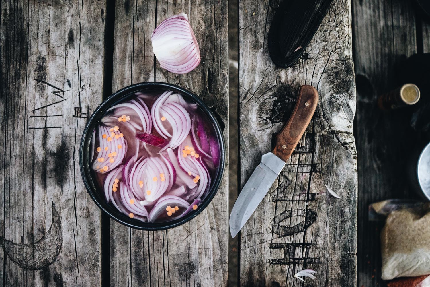
- Pub Meals – treat yourself to a pub meal when you get to Omeo, Dargo and/or Warburton.
- General Stores – the general stores along the route only stock basic supplies but enough to get you by. Note general stores generally close early, 5-6pm.
Day 1: Canberra to Three Mile Dam
- Distance: 159km
- Elevation gain: 3,028m
- Fly over video of route: Day 1 – http://www.relive.cc/view/
788625637 - Notes: An easy pedal out town before hitting the dirt, leaving civilisation behind and climbing over the Brindabella Ranges to Brindabella Valley, then another few hours of climbing in bushland before reaching Long Plain and finally the last climb to camp along a fast stretch of sealed road.
Day 2: Three Mile Dam to Geehi Hut
- Distance: 115km
- Elevation gain: 2,667m
- Fly over video of route: Day 2 – http://www.relive.cc/view/
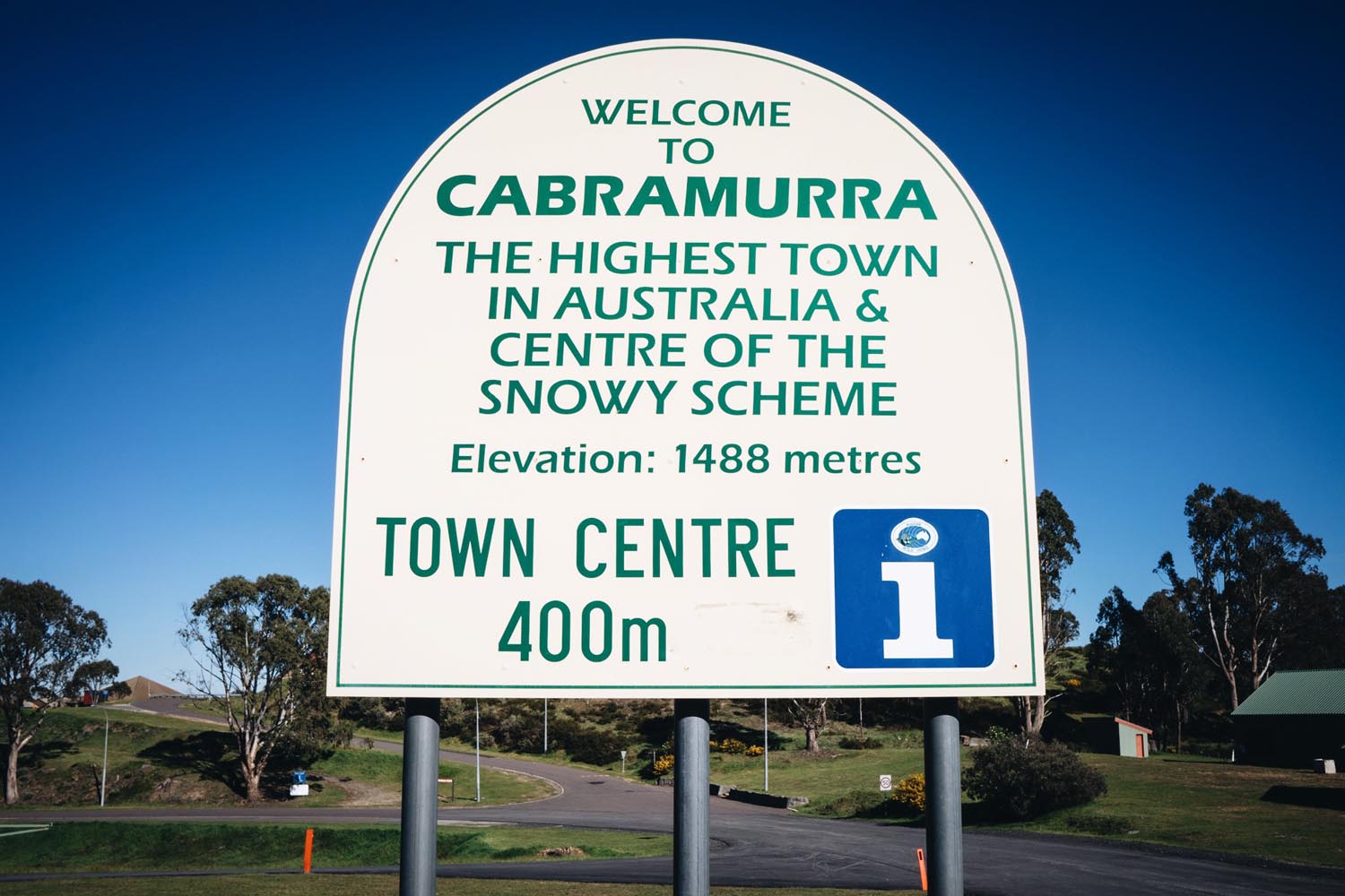
788625682 - Notes: You’ll pass the Cabramurra general store, your first and only resupply point until Omeo about 225km away, then enter the Jagungal wilderness where the rough trails, creek crossings and hike a bike sections will slow you to walking pace. Enjoy the scenery and visit the alpine huts before finishing the day with an ascent to Geehi Camp ground on some faster dirt trail
Day 3: Geehi Hut to Omeo
- Distance: 127km
- Elevation gain: 2,738m
- Fly over video of route: Day 3 – http://www.relive.cc/view/
788625778 - Notes: The day starts on a relatively easy road through tall eucalypt forest before reaching the Murray River crossing at Tom Groggin Camp Ground. If its been raining it will probably be too dangerous to cross the river and you will have to detour to Omeo via Khancoban on the main roads. After crossing the river settle into a a very long hike a bike, then ride the ridge line before a big ascent and a 50km pedal through rolling farmland into Omeo.
Day 4: Omeo to Black Snake Hut
- Distance: 160km
- Elevation gain: 3,289m
- Fly over video of route: Day 4 – http://www.relive.cc/view/
791253884 - Notes: The day starts with the biggest but one of the easiest climbs up to the Mt Hotham summit at 1870m elevation. Grab some lunch at the general store just short of the top, finish the climb to the summit, enjoy the view in all directions before a fast 10km descent taking you to the turn off to the Dargo High Plains Rd. From here its a few hours on dirt roads and a very fast descent into Dargo. Grab a beer at the Dargo hotel and finish with an easy pedal to Black Snake Creek Camp site
Day 5: Black Snake Hut to Licola
- Distance: 110km
- Elevation gain: 2,419m
- Fly over video of route: Day 5 – http://www.relive.cc/view/
791253986 - Notes: Today is all about Billy Goat Bluff Track! a hike a bike section of 1100vm in only 7km. Start the day early to avoid the heat and carry at least 3L of water for the climb. Allow up to 4hrs for the hike a bike. The view at the top is magic! A couple more hours riding along the plateau before a long ascent into Licola. Camp on the river at the holiday and enjoy a swim
Day 6: Licola to Warburton
- Distance: 163km
- Elevation gain: 3,217m
- Fly over video of route: Day 6 – http://www.relive.cc/view/
791254192 - Notes: Another long gentle climb to start the day and then some steeper, rougher riding before ascending into Woods Point down one of the most enjoyable dirt trails of the ride, you’ll be smiling the whole way down. Grab a bite at the Woods Point Hotel before another long climb and much longer gravel stretch, be sure to fill up water at Woods Point. The day finishes with a long smooth ascent into Warburton.
Day 7: Warburton to Melbourne
- Distance: 97km
- Elevation gain: 1,178m
- Fly over video of route: Day 7 – http://www.relive.cc/view/
791927124 - Notes: Today the hard work is essentially all behind you. Starting off along an easy rail trail, passing the rail trail cafe before turning into the Dandenong’s for the final climb of the route. The approach into Melbourne weaves together a network of bike paths to deliver you to Edinburgh Gardens where you can enjoy a lay in the park and well earned snack and/or cold beverage
Alternative 11 day plan
- Day 1: Canberra to Cooinbill Hut (119km)
- Day 2: Cooinbill Hut to Derschko’s Hut (82km)
- Day 3: Derschko’s Hut to Dogman Hut (93km)
- Day 4: Dogman Hut to Omeo (99km)
- Day 5: Omeo to JB Plain Hut (46km)
- Day 6: JB Plain Hut to Dargo (98km)
- Day 7: Dargo to Horseyard Flat Camping Area via Billy Goat Bluff (52km)
- Day 8: Horseyard Flat to Licola (80km)
- Day 9: Licola to Woods Point (58km)
- Day 10: Woods Point to Warburton (103km)
- Day 11: Warburton to Melbourne (95km)
Additional Resources
Several people have written articles about their experience on the Hunt 1000 ride in Nov 2016. These provide some great perspectives and additional images from the trail:
- The Hunt 1000, Day 1 – jambi-jambi.com
- Unracing The Hunt 1000 – omafiets.com.au
- Almost – Hunt Bikes Snowy Mountains 1000 – tydomin.com
- Hunt 1000, Day 1 – overlandarchive.com
- Instagram #Hunt1000 – instagram.com/explore/tags/hunt1000/


Terms of Use: As with each bikepacking route guide published on BIKEPACKING.com, should you choose to cycle this route, do so at your own risk. Prior to setting out check current local weather, conditions, and land/road closures. While riding, obey all public and private land use restrictions and rules, carry proper safety and navigational equipment, and of course, follow the #leavenotrace guidelines. The information found herein is simply a planning resource to be used as a point of inspiration in conjunction with your own due-diligence. In spite of the fact that this route, associated GPS track (GPX and maps), and all route guidelines were prepared under diligent research by the specified contributor and/or contributors, the accuracy of such and judgement of the author is not guaranteed. BIKEPACKING.com LLC, its partners, associates, and contributors are in no way liable for personal injury, damage to personal property, or any other such situation that might happen to individual riders cycling or following this route.
Please keep the conversation civil, constructive, and inclusive, or your comment will be removed.